A broad swath of much needed rainfall, some heavy, continues to advance very slowly Eastward across the High Plains region this morning, as shown by the latest radar mosaic below:

The heaviest rainfall today, on the order of 4-6 inches locally, is expected to take place in a swath from northwest and westcentral Oklahoma into northwest and westcentral Texas, as shown on the image below (valid 7am CDT today through 7am CDT Sunday):

Here is how the rainfall is forecast to break out throughout the day today, first during the period 7am-1pm CDT:

...from 1pm-7pm CDT:

...and from 7pm (today) to 1am CDT (Sunday):

The forecast for tomorrow looks much the same as today, with some southeastward progression of the rain into southcentral or southeast Texas. Widespread 3-5 inch amounts are forecast again from western Oklahoma into westcentral Texas:

By Monday, the intensity is forecast to have lessened, with a bit more of an Eastward progression as well:

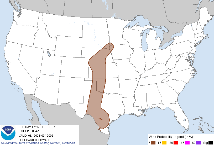
Some of the storms are likely to approach severe limits this afternoon and evening across the High Plains. The greatest threats would be wind gusts and hail to near severe limits in the area shown in brown on the image below (from the SPC):
If you enjoy reading 'The Original Weather Blog', please be sure to "like" our facebook page!
No comments:
Post a Comment